
After staring at Rangitoto, or in Maori "bloody sky," for the past eight weeks while at home, in school, and out on the town, I was finally able to travel to the volcanic island to explore its lava crops and native "bush" this past Saturday afternoon.
The island, a public reserve managed by the NZ Department of Conservation, erupted from the sea around 600 years ago. It is the youngest island on the Hauraki Gulf, and the last and largest volcano to be formed in the Auckland volcanic field.
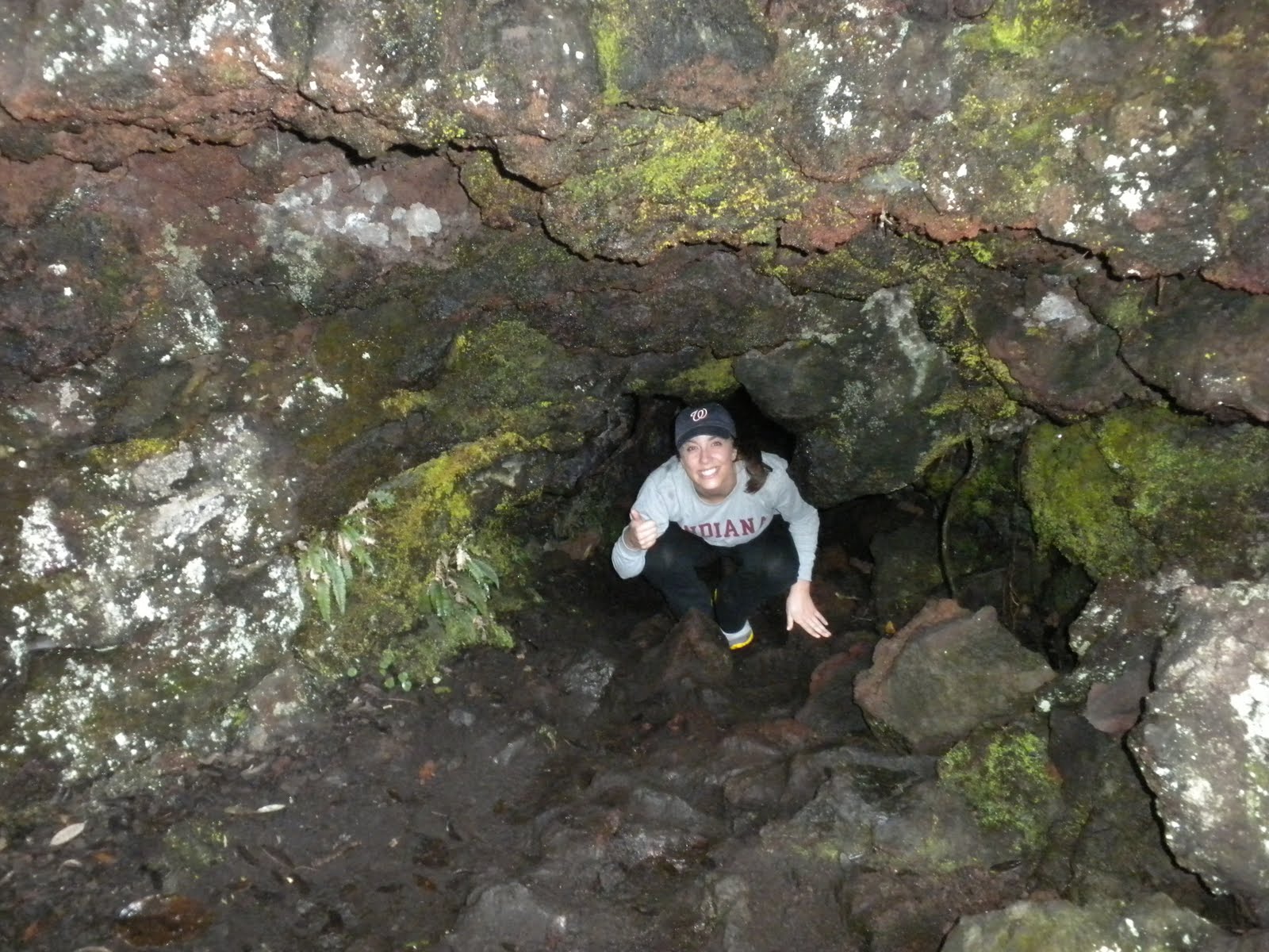
Upon our ferry arrival to the island, my host mom and I made our way up the summit trail, stopping to visit the various lookouts and lava caves along the way. Now, scientists say that it is beneficial to walk on unpredictable surfaces, as it activates both sides of the brain. If this is true, I may have had the most intellectual day of my life on this island. Because of the volcanic lava rubble, the unpaved pathways with lava rocks jetting outward from the ground cause quite an interesting day walk, occasionally testing our attentiveness by creating a small slips or trips. Nevertheless, once we reached the summit, we could see Motutapu Island on one side, Auckland city on the other, Waheike in between, and the Hauraki Gulf all the way around.


What to look forward during my last weekend in New Zealand :(
3 Day bus trip to the Bay of Islands and Cape Reinga
No comments:
Post a Comment